Comprehensive Land Use Plan
A comprehensive land use plan is an aspirational policy guide for how Belmont should manage land use change over the next twenty years. It contains a vision statement, guiding principles, a future land use map, goals, action statements and a detailed implementation element that together provide a blueprint for citizens, developers, property owners, City staff, boards and the City Council.

About the Plan
- The City of Belmont adopted its first comprehensive plan in August 2007 and completed an update in April 2018.
- The comprehensive plan is not an ordinance or law, but development plans and rezoning decisions must be made with consideration of the plan.
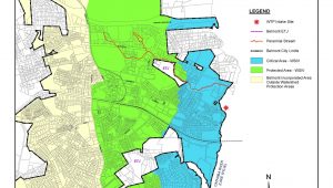
- The plan calls for protecting the existing neighborhoods in Belmont and directing commercial growth in walkable Village Centers.
Sections
To view the different sections of the Comprehensive Land Use Plan, please refer to the document listing below.
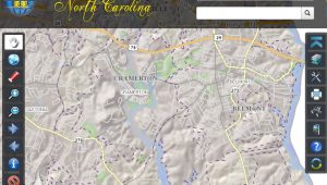
Displays municipal, zoning, flood, public safety, and more.
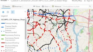
Displays existing and proposed transportation improvements

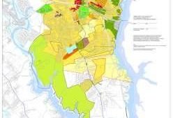
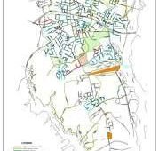
Displays proposed CTT routes throughout Belmont


Historic district as listed on the National Register of Historic Places